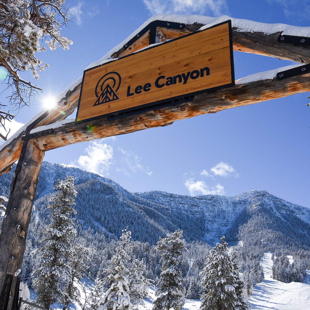
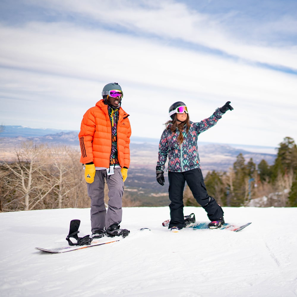
Hiking Pajarito

Important Information about Hiking Pajarito – Lift-Served or Not!
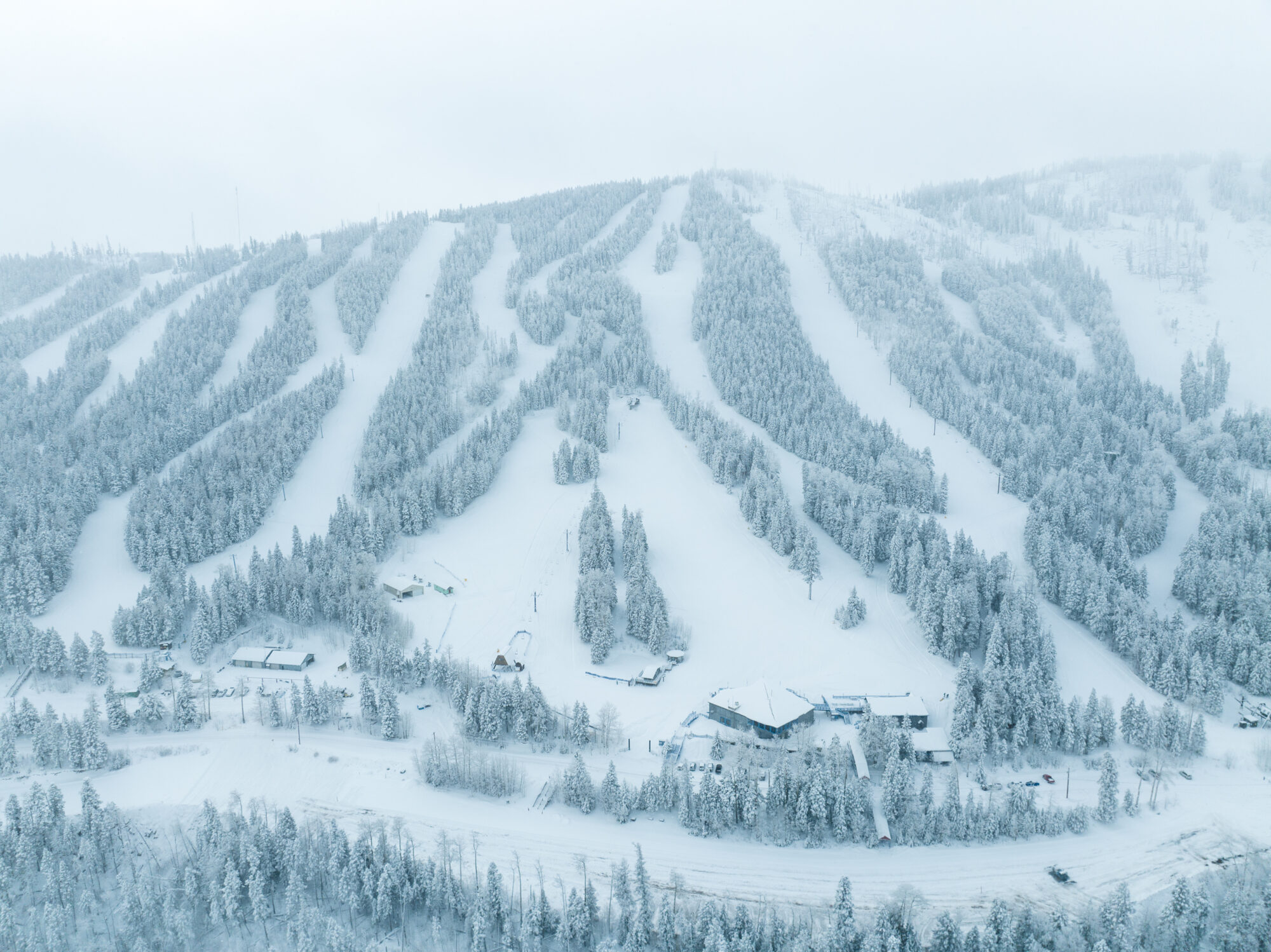
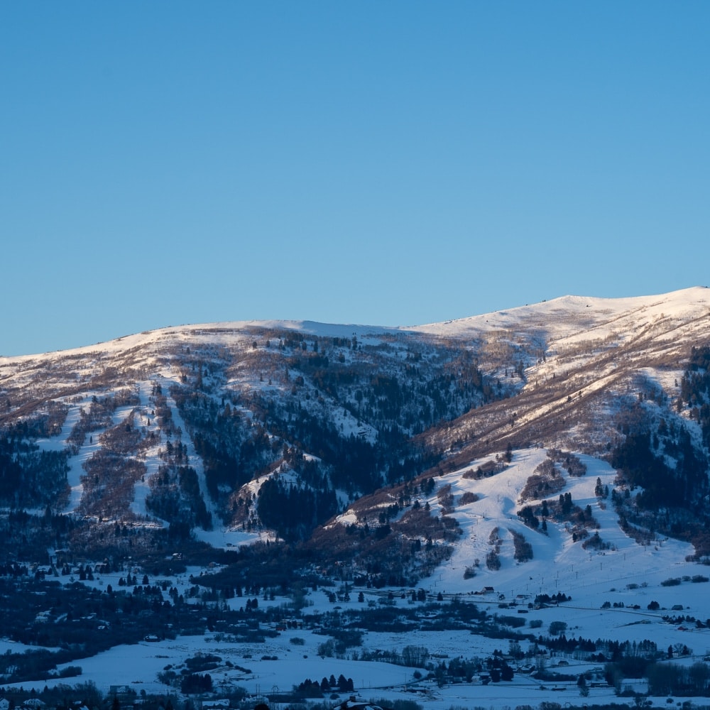
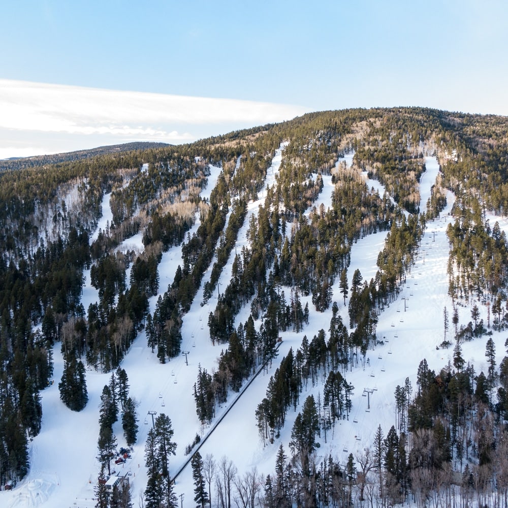
The breathtaking beauty of the Jemez Mountains and Los Alamos has been, and continues to be, molded by the forces of nature. The remnants of volcanic activity, the Jemez Mountains are home to some of the most spectacular hikes in the state.
Please note that hikers are not allowed on designated bike trails, for the safety of everyone.
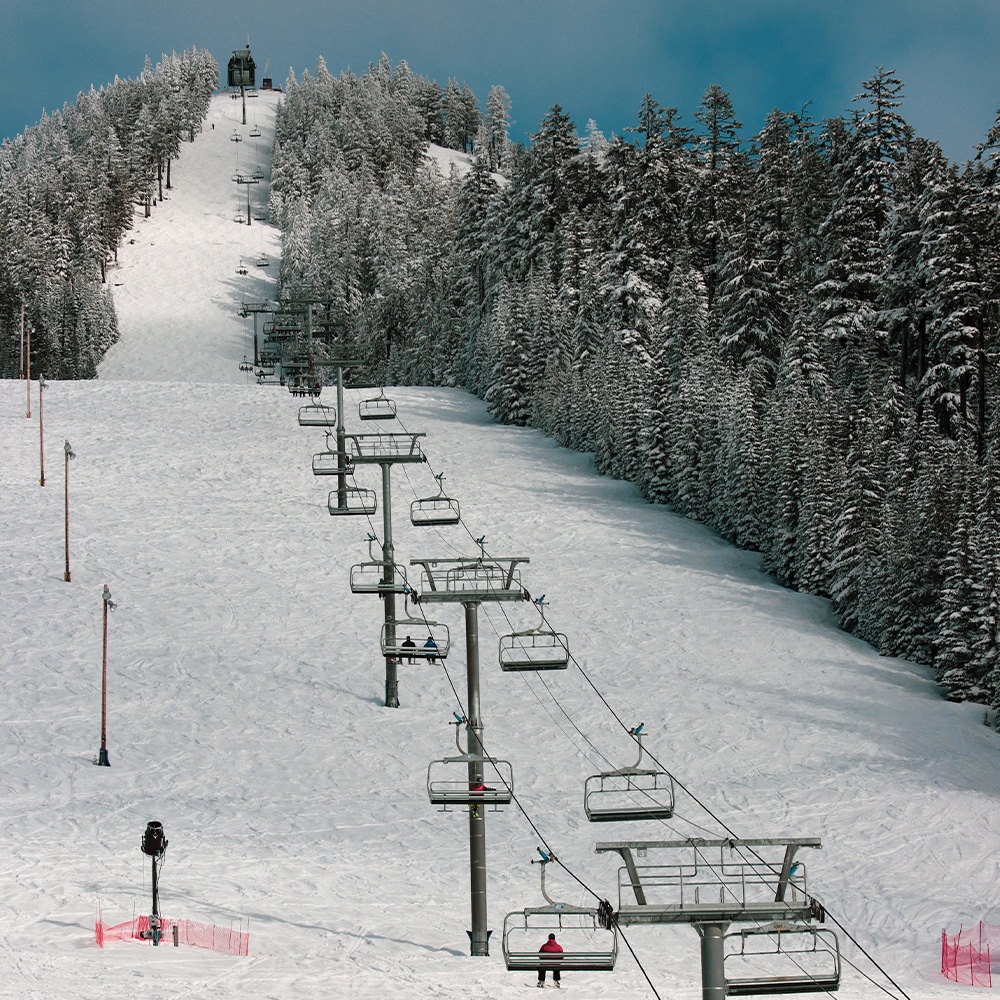
Please use East Road or under the Aspen lift as designated hiking trails in the bike park. Hikers may utilize any trail off of the Town Sight Lift Area or other ski trails that are not designated as bike trails.
Dogs are allowed off leash on the the Town Sight trails, but must be on leash at all times in the base area and on trails in the bike park.
The Pajarito Environmental Education Center (PEEC) trail app allows you to search for a nearby trail that fits your hiking criteria. Looking for a short dog-friendly hike or an all-day trail run? This app will tell you your options and exactly where to go. The app profiles dozens of trips at Pajarito Mountain, Los Alamos County, Bandelier National Monument, and the Valles Caldera National Preserve.
For more information please contact us at (505) 662-5725 or at [email protected].
| Online | |
| Hike Uplift | $15 |
- Hiking Restrictions
- Hikers are not allowed on designated bike trails
- Hikers must keep dogs on leash in designated areas
- Hikers who purchase a ticket are not eligible for Bird Bucks
- Please note that our lift only provides uplift – not downhill service, you must be prepared to walk down
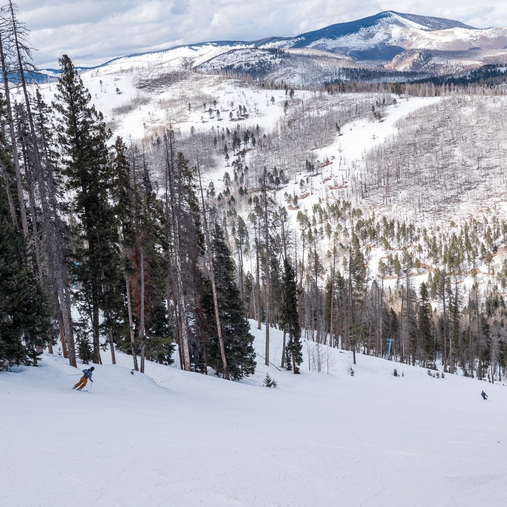
Make sure you carefully plan and prepare for your hiking or backpacking trip before you take off for your adventure. During hours of operation, hiking is restricted to East Road and directly under the Aspen lift.
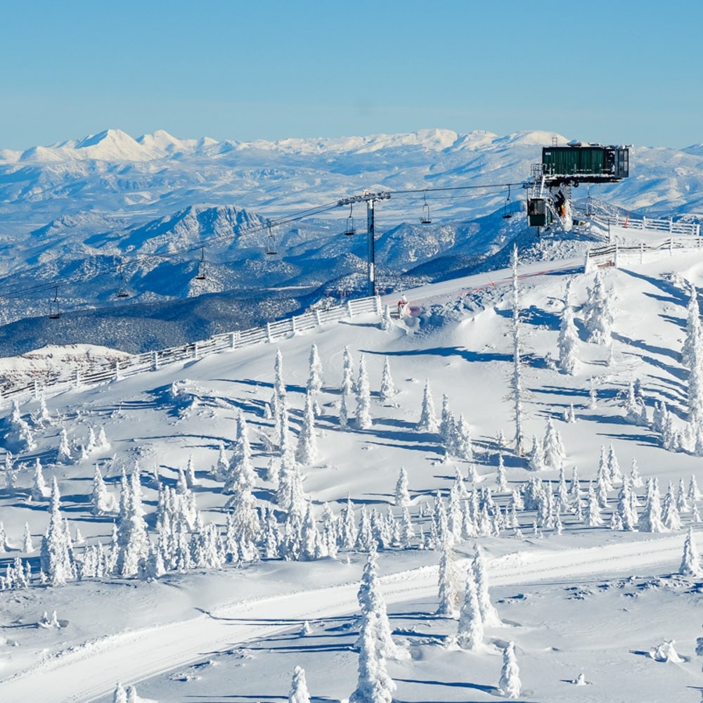
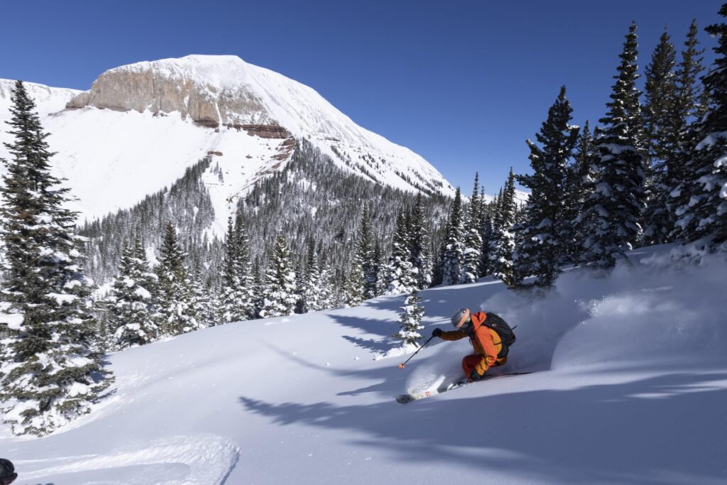
Weather on the Jemez Mountains
The Jemez Mountains are subject to a wide range of climate conditions. Precipitation ranges from 20 inches (50 cm) in the lower area of the mountain to over 40 inches (100 cm) on the upper slopes. Temperatures fluctuate greatly from night to day.
Precautions should be taken to avoid being caught on exposed peaks and ridge tops during northern New Mexico’s regular summer thunderstorms. Plan ahead: watch approaching storms and get to a safe area before the storms hit. The safest places to be, if you do get caught in a storm, are forested areas away from ridge tops, ledges, rock outcroppings, or the tallest trees.
Restrictions
Several factors make it necessary to implement some restrictions — the fragile habitat of the mountains a threatened plant species, the Jemez Mountains wilderness designation, and the municipal watershed for the City of Los Alamos.
- Camping is not allowed on along Camp May Road except at the Camp May campground past the Main Lodge.
- Campfires are also prohibited in the same areas. Fires are allowed below 11,000 ft (3,352 m). Keep them small and use only wood which will burn completely to ash. Fires should be built on mineral soil. Take care to clear burnable material from the fire area. If you pack it in, please pack it out. Do not burn garbage, foil, cans, plastic, or nylon of any kind.
- Artifacts and ruins are a major portion of the history and heritage of the Jemez Mountains. All items of this nature are protected by law against damage or removal. We request that you only look, admire and photograph these items.
Endangered species are located at Pajarito Mountain; therefore, hiking is restricted to designated trails only.
Follow the golden rule of no-trace hiking and camping: “Take only pictures, leave only footprints.”
- Respect the land — do not cut switchbacks.
- Avoid wet trails if possible and avoid making new trails.
- Keep to the right of the trail — save the left for passing.
- Downhill traffic yields to uphill traffic.
- When in a group, do not block the trails; allow enough room for others.
- Enjoy your hike and please be safe!
Make sure you read and understand restrictions in the Jemez Mountains Wilderness listed below.