Getting
Here

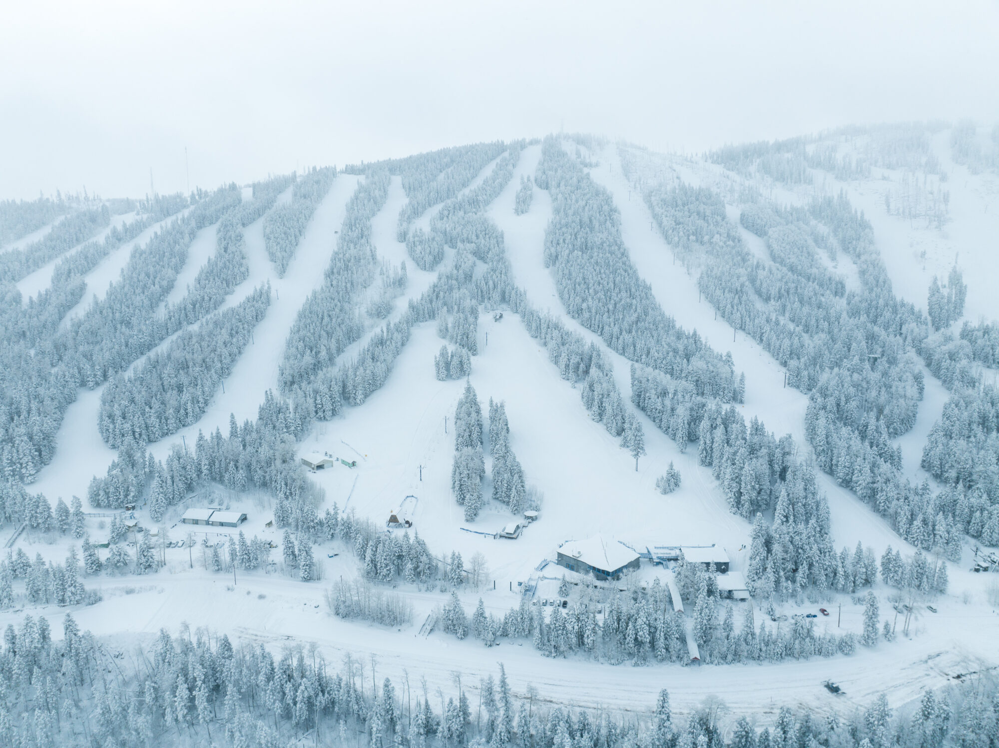
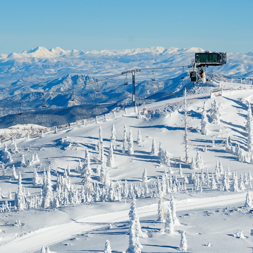
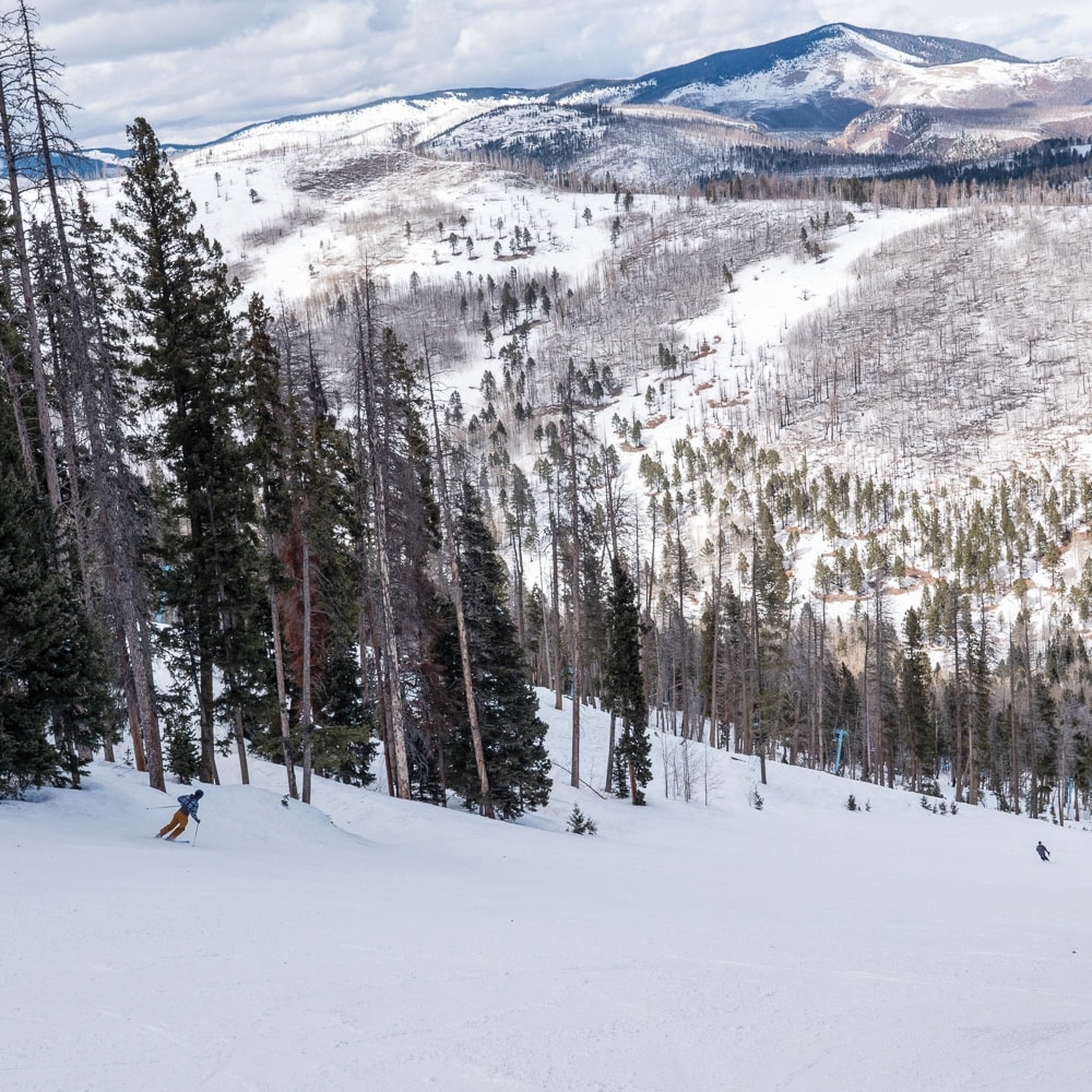
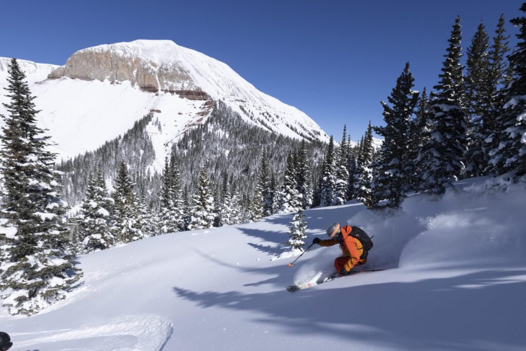
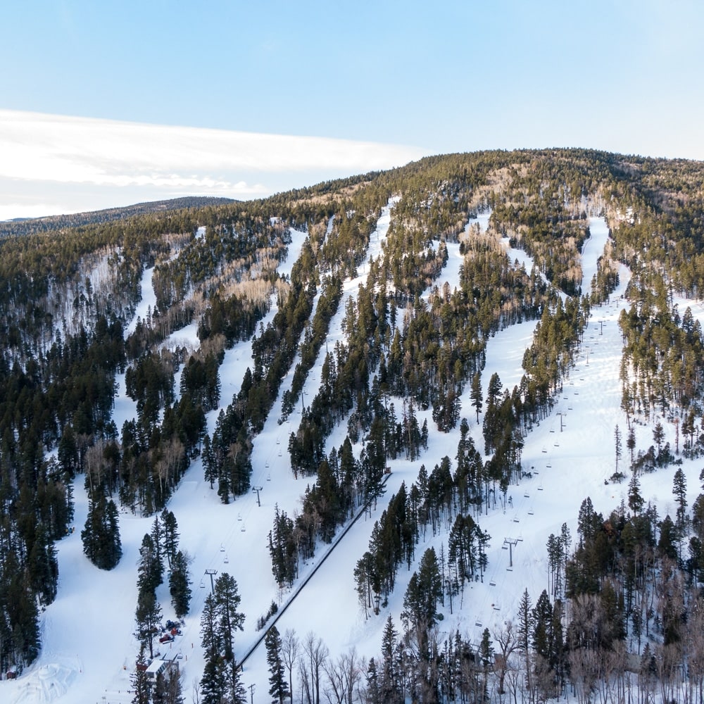
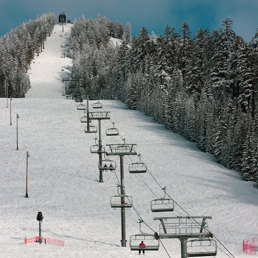
Visiting Pajarito Mountain – Los Alamos, New Mexico
Destination Pajarito Mountain Ski Area
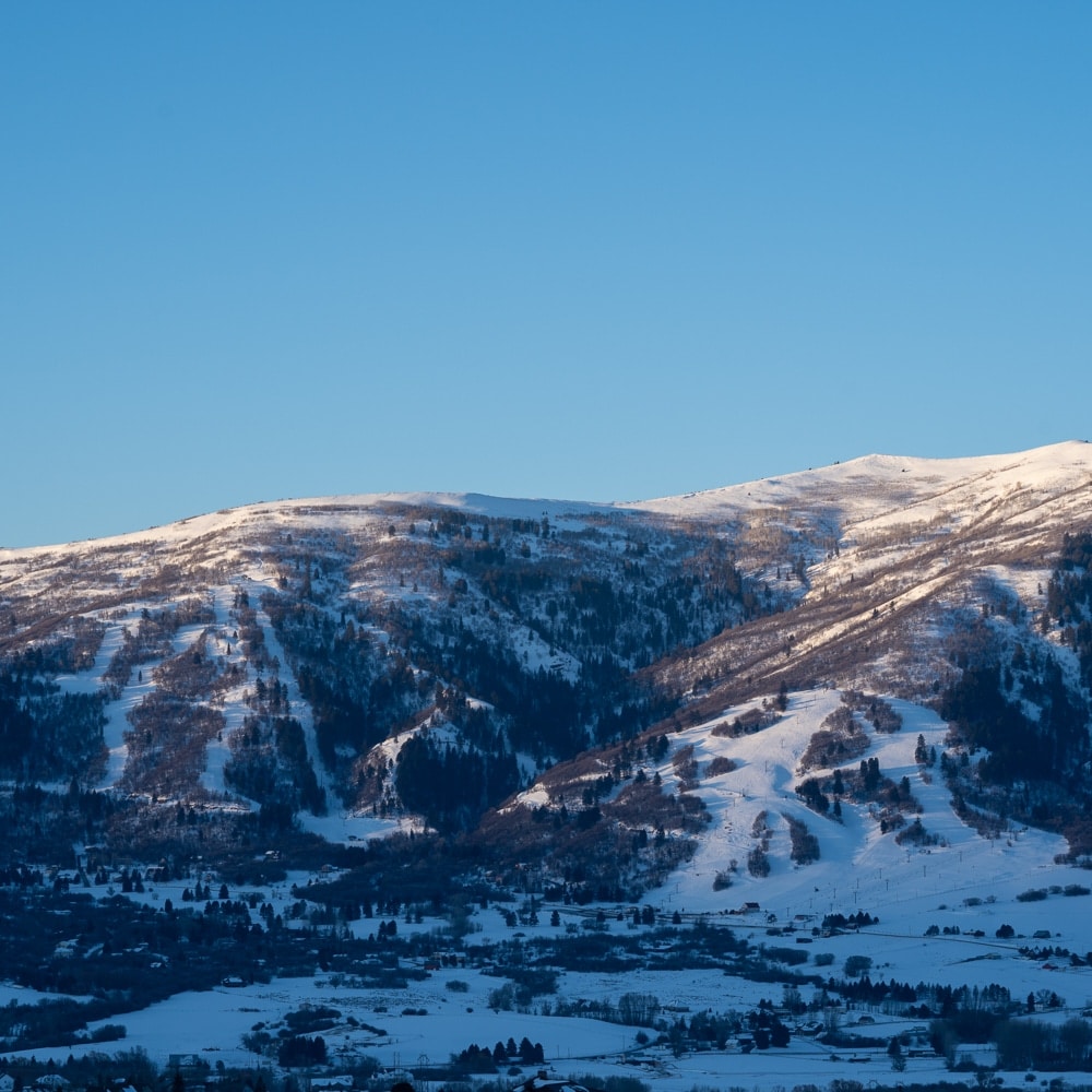
Where is Pajarito Mountain?
Pajarito Mountain Ski Area is 5 miles west of Los Alamos. on the eastern edge of the Jemez Mountains in north central New Mexico,
Where is Los Alamos?
Los Alamos is located on Pajarito Plateau of the Jemez Mountains, approximately 35 miles northwest of Sante Fe and 5 miles east of Pajarito Mountain.
Transportation to Pajarito Mountain – Los Alamos
Travel to Pajarito is by car. There is no direct air, train or public transportation available on the mountain or from Los Alamos to Pajarito. Nearest airports are Albuquerque International Sunport and Santa Fe Regional Airport.
Traveling by Car
Quick Links:
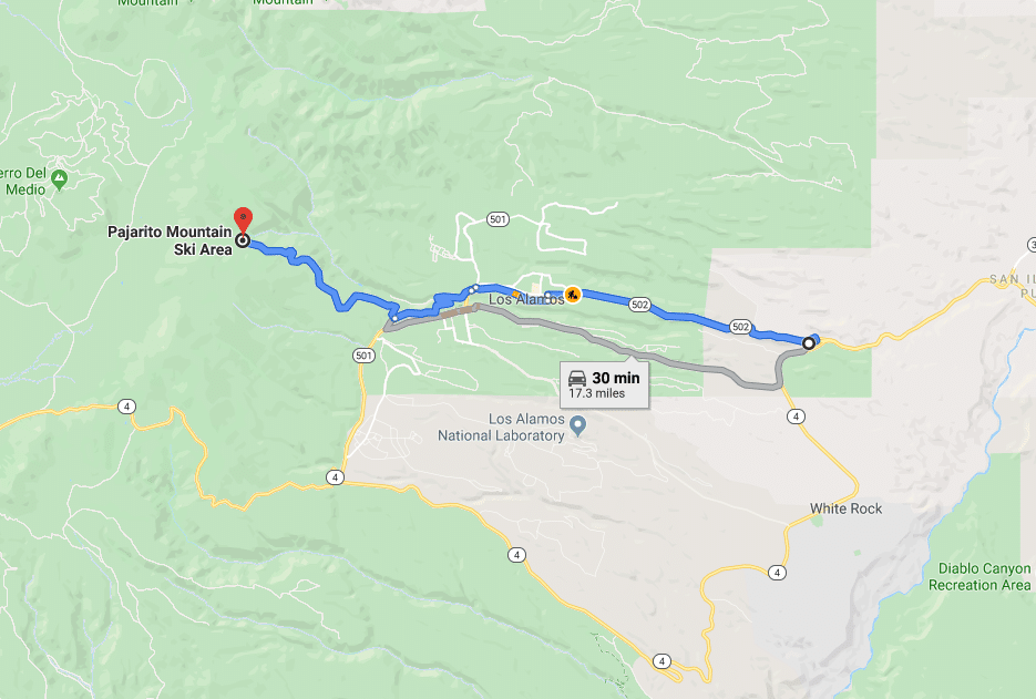
Google Maps Pajarito Directions from Los Alamos
Google Earth Photo
Weather Los Alamos
Snow Report Pajarito
New Mexico Road Conditions
Directions from Albuquerque
Distance: 103 miles | Travel Time: 120 minutes
Drive north on I-25. At Exit 276, take NM-599 then merge onto US-285 N/US-84 W to Pojoaque. Exit NM-502 W to Los Alamos. Take NM-502 through Los Alamos town center. Either proceed through the LANL security checkpoint on the south side of Omega Bridge (photo ID required), or take West Road at the traffic light just north of Omega Bridge to avoid the checkpoint.
Directions from Jemez Springs
Distance: 39 miles | Travel Time: 60 minutes
From State Road 4, turn left onto NM-501 and left again onto West Road just before the LANL security checkpoint. Follow the sign turning west onto “Ski Hill Road”, then drive 4 miles on Camp May Road to the ski area.
Directions from Los Alamos
Distance: 5 miles | Travel Time: 15 minutes
From Los Alamos town center on NM-502, either proceed through the LANL security checkpoint on the south side of Omega Bridge (photo ID required), or take West Road at the traffic light just north of Omega Bridge to avoid the checkpoint.
Directions from Santa Fe
Distance: 41 miles | Travel Time: 50 minutes
Take US-285 N / US-84 W (Saint Francis Drive) North to Pojoaque. Exit NM-502 W to Los Alamos. Follow NM-502 through Los Alamos (Trinity Drive). Turn Left from Trinity Drive onto Diamond Drive. Proceed through the LANL security checkpoint on the south side of Omega Bridge (photo ID required), and turn right onto West Road, about 1 mile past the stop lights. Turn left onto Ski Hill Road (Camp May Road or Camp May Trail on most GPS devices), and continue 4 miles to Pajarito Mountain. To avoid the LANL security checkpoint, turn left onto West Road just before Omega Bridge, then right onto Ski Hill Road, and continue 4 miles.